What's New in PhotoWeather: May 2026
Your alerts now explain why conditions are good for photography, not just what the numbers say. Plus the biggest batch of accuracy improvements since launch, golden hour timing fixes everywhere, and faster setup with template packs.
What’s New in PhotoWeather: May 2026
Something that’s been bugging me for a while: PhotoWeather’s alerts have always told you what the conditions are, but not why they matter for photography. That changes now. I’ve also been methodically working through every condition type against real-world validation data — the accuracy improvements in this update are the most significant since launch.
1. Your Alerts Now Explain Themselves
This is the headline change this month. Every alert now includes a photography-specific explanation of why the conditions are worth your attention — not a raw dump of weather variables.
Before, an aurora alert would read something like “Cloud cover ≤ 25%, Visibility ≥ 10km, Aurora probability ≥ 80%.” Accurate, but it didn’t tell you anything about what that actually means for your photography.
Now you’ll see explanations like:
- Aurora: “Dark, clear skies and good visibility for clean overhead displays.”
- Blue hour: “A near-cloudless sky with excellent visibility and calm air, delivering a clean deep blue gradient.”
- Storm: “Severe convective development driving intense conditions with towering cloud structures.”
- Golden clouds: “Multi-layer cloud structure catching warm low-angle light at different altitudes for exceptional depth.”
- Fog: “Calm, saturated air with visibility already heavily reduced.”
These contextual headlines appear everywhere you’d normally see an alert — email digests, push notifications, calendar feeds, dashboard cards, and the opportunity detail panel. The system inspects what’s actually happening at the peak of the event — cloud structure, wind conditions, humidity, sun angle — and selects the right explanation from a domain-specific template. It won’t claim clear skies if there aren’t any, and it won’t overstate marginal conditions. When conditions are uncertain, the language reflects that.
All 29 condition types are covered, from aurora and fog to rainbow, frost, coastal drama, and mirror reflections.
2. Accuracy — The Biggest Improvements Since Launch
Over the past two months, I’ve been running every condition type through systematic validation against real-world data: METAR weather station observations matched against historical forecasts, and webcam captures classified by AI to check what conditions were actually visible on the ground.
Some conditions held up well. Several had systematic problems. Here’s what got fixed.
Fire Sky
The fire sky formula has been rebuilt from the ground up. The old version was wrong about 40% of the time — mostly false positives where a solid overcast was blocking the light but the formula thought the ingredients looked right.
The new approach is geometry-first. Instead of guessing from atmospheric proxies, it asks: can low-angle sunlight physically reach a cloud canvas?
Solid overcast won’t fool it anymore. The single most common false positive — a clear horizon underneath a thick mid-level cloud deck — is now heavily suppressed. The formula recognises that as a blocking layer, not a canvas.
Rain kills the score. The old formula would fire during precipitation if other conditions looked promising. Now the score drops as precipitation probability rises and cuts hard above moderate rain risk. A fire sky needs light to travel, and rain blocks it.
Dry air is a strong positive signal. The validation data showed that dry conditions through the mid-atmosphere are one of the best predictors of genuine fire sky — fewer clouds between the sun and whatever it’s illuminating. The formula now weights this accordingly.
Model uncertainty is rewarded. When weather models disagree about cloud cover, the atmosphere is often in a dynamic transitional state — exactly when dramatic broken-cloud fire skies happen. The formula now recognises this as a positive signal rather than treating it as noise.
Catches events the old formula missed entirely. Two scenarios were invisible to the old model: low-cloud underside illumination (the sun painting the bottom of a low deck at a very shallow angle) and thick high cirrus catching side-light while the rest of the sky is relatively clear. Both are now detected.
High-latitude timing extended. At Nordic latitudes, fire sky can occur at slightly higher sun angles than the old cutoff allowed — the solar path is more oblique. Those hours now score correctly rather than being zeroed out.
For Pro users, the formula also incorporates directional cloud and radiation data. Instead of assuming conditions from a single grid point, it checks whether the solar corridor is actually open toward the sun using a 24-point probe grid at multiple distances.
Soft Light
The soft light formula had a subtle but common failure mode. It scored purely on the ratio of diffuse to direct radiation, which works well when clouds are doing the diffusing. But when the sun is low in a clear sky, Rayleigh scattering — the same blue-sky scattering that gives you clean golden hour light — produces a high diffuse ratio too. The formula couldn’t tell the difference between “clouds are making the light soft” and “the sun is low, so the sky is scattering more blue light, but it’s still harsh.”
The result: soft light alerts on crystal-clear days when the sun was still casting hard, defined shadows.
Now, when cloud cover is low and direct sun is strong, the score gets a penalty. If there are actual clouds providing the diffusion, no penalty. This means soft light alerts are now genuinely about soft light, not about the sun being low.
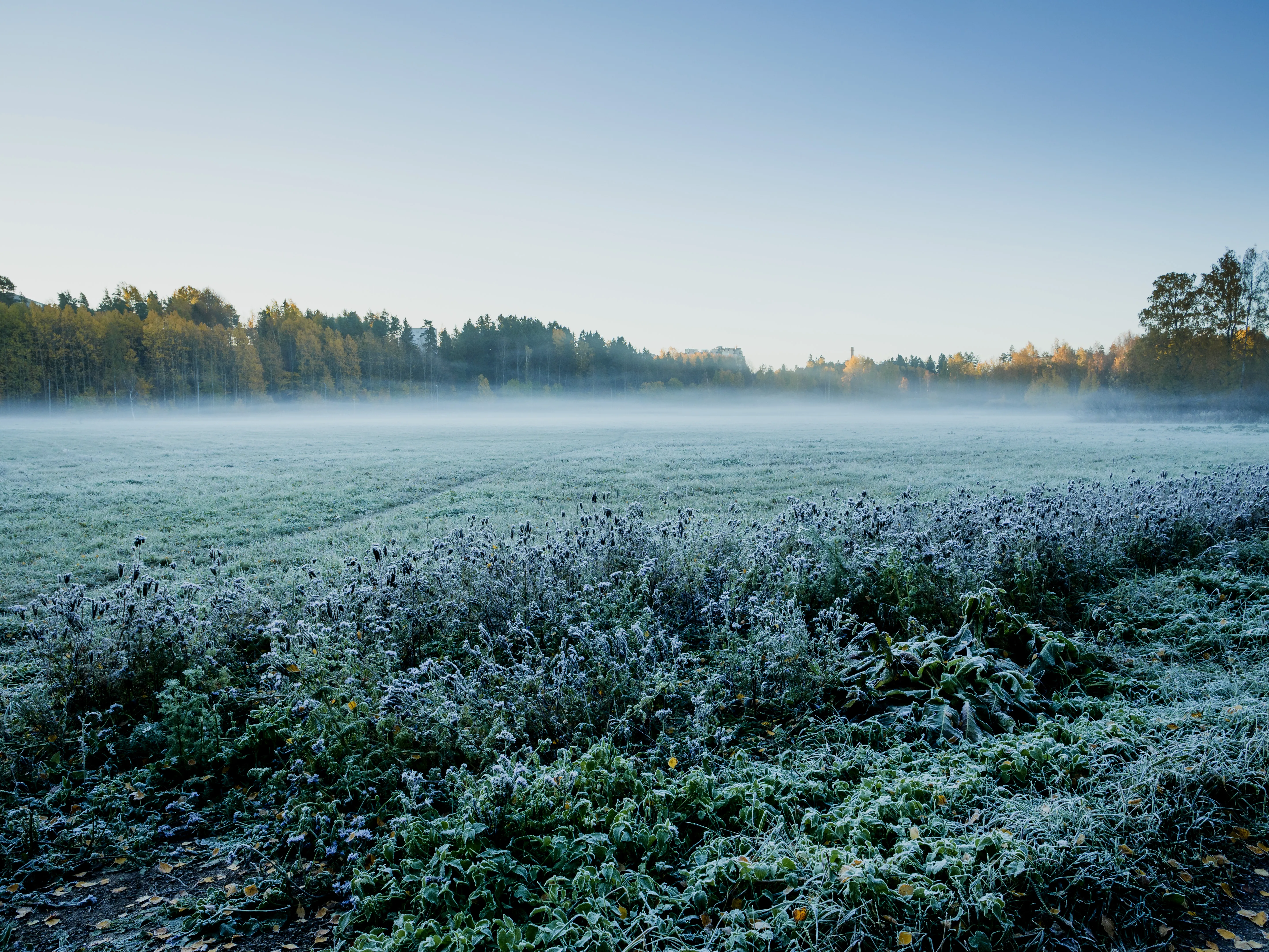
Fog
Two separate problems emerged in validation.
Haze and pollution were being mistaken for fog. Both reduce visibility, so a visibility-based formula alone can’t tell them apart. Photographically, they’re completely different — one gives you atmosphere and depth, the other gives you flat grey nothing. The formula now checks for aerosol loading in the air and suppresses the score when conditions look more like haze than fog. This catches roughly 40% of false positives without touching real fog events. Critically, when visibility drops very low — below 500 metres — the formula trusts the fog signal regardless, because marine sea spray and other dense aerosols at that level are actual fog.
Coastal fog was being killed by the wind limit. Real dense sea fog — the kind that rolls in off the North Sea as a haar — can persist in moderate coastal winds. But the old wind cutoff was too aggressive and was suppressing these events entirely. Now, when visibility is genuinely low and the air is fully saturated, the wind guard relaxes and these events alert correctly.
Rainbow
Rainbow predictions now use tighter criteria for what constitutes rainbow-capable conditions. The headline language has been dialed back to match what the model can reliably predict — you’ll see “Promising” where you used to see “Excellent.” The scoring also places more weight on whether sunlight is actually reaching the ground rather than just whether there’s a gap in the clouds.
Aurora
Aurora alerts no longer fire during civil twilight. The old cutoff allowed alerts when the sun was 6° below the horizon — which at high latitudes in summer means a visibly blue sky with zero chance of seeing aurora. The cutoff is now 8° below. If there’s sky glow, there’s no aurora alert.
Morning Dew (New)
Dew is now its own condition, separate from frost. The formula models actual surface condensation physics rather than just checking humidity. It looks at how close the ground temperature is to the dewpoint, and — crucially — whether the previous six hours were clear enough for radiative cooling to happen. Humid overcast mornings produce zero dew regardless of what the humidity readings say, because no heat radiated away from the ground overnight. The formula now understands this. Validated against ERA5-Land reanalysis data.
3. Golden Hour & Blue Hour — Fixed Everywhere
Four separate astronomical bugs got fixed this month, each affecting different photographers in different places. Together they mean golden hour and blue hour timing is now reliable regardless of where you live or what time of year it is.
Solstice at high latitudes. Near the summer solstice above ~55°N, the sun briefly dips into the blue hour elevation range around midnight, creating extra intervals that the old code sometimes mislabeled. You could get a “morning” blue hour alert at midnight. The system now checks whether the sun is rising or setting through each interval rather than assuming the first one is morning and the last is evening.
Cross-midnight boundaries. For locations east of UTC, blue hour evening can start at 23:39 and end at 02:55 — a continuous interval that crosses the UTC midnight boundary. The old code saw the end time was numerically earlier than the start and dropped the interval entirely, making the second half of the evening window invisible. Now handled correctly.
Timezone-aware astronomy. Moon phases, night/day masks, and Milky Way altitudes were all computed against UTC dates. For someone in New Zealand at UTC+12, an hour at 11:00 UTC on January 15th is actually January 16th local time — so the system was using the wrong date’s moon phase, the wrong sunrise time, the wrong Milky Way position. All astronomical lookups are now converted to local time first.
Twilight boundaries tightened. Civil, nautical, and astronomical twilight windows were overbroad — each band was bleeding into the next, making twilight-based rules match wider windows than intended. Each band is now correctly scoped to its specific solar elevation range.
4. Faster Setup With Template Packs
Setting up PhotoWeather used to mean picking individual weather conditions from a list — functional, but slow, and not great if you’re new and don’t know which conditions to choose.
The onboarding now offers curated template packs:
| Pack | Templates Included |
|---|---|
| Essentials (free) | Golden Hour, Blue Hour, Fog Hunter |
| Night Sky (Pro) | Dark Skies, Moonlit Landscapes, Aurora, Milky Way |
| Weather & Drama (Pro) | Storm Chaser, Clearing Storm, Rainbow, Light Breakthrough, Cloudscapes, Coastal Drama |
| Landscapes (Pro) | Golden Clouds, Fire Sky, Civil Twilight |
| Winter (Pro) | Winter Wonderland, Fresh Snow, Morning Frost |
| Details & Reflections (Pro) | Mirror Lake, Rain Puddles, Morning Dew |
One click creates all the rules in a pack. Essentials is free and pre-selected so new users get something useful immediately. Pro packs require a Pro subscription. If you prefer to pick individually, the Custom path is still there — it opens the full template browser just like before.
Available on both web and mobile.
5. AI Location Suggestions (Web, Pro)
Pro users now see a Suggested Spots section on their locations page, below their saved locations. The system uses AI to suggest real-world photography spots near your existing locations — each suggestion shows a name and coordinates with an Add button that turns it into a real location in your account. You can regenerate suggestions anchored around a specific location if you want results focused on a particular area.
6. 7-Day Pro Trial
New users now get a full 7-day Pro trial at signup — all features, no credit card required. Available on both web and mobile.
This update covers a lot of ground. The contextual alert explanations are the most visible change, but the accuracy work underneath is where the biggest difference lives — especially for fire sky and fog, where the old formulas were quietly wrong in ways that eroded trust every time a bad alert fired. That was worth fixing properly.
Questions or feedback? Reach out at support@photoweather.app.
Clear skies, Pontus